
Bhubaneswar: The India Meteorological Department (IMD) on Saturday informed that a low pressure area is likely to form over the north and adjoining central Bay of Bengal during next 48 hours, under its influence, heavy rainfall to occur in several districts of Odisha for the next two days.
“The cyclonic circulation over East-Central Bay of Bengal now lies over northeast & adjoining East-Central Bay of Bengal and extends upto 4.5 km above mean sea level, tilting South-Westwards with height. Under its influence, a low pressure area is likely to form over north & adjoining central Bay of Bengal during next 48 hours heavy rainfall, thunderstorm with lightning is very likely to occur at one or two places over the districts,” said the weather department.
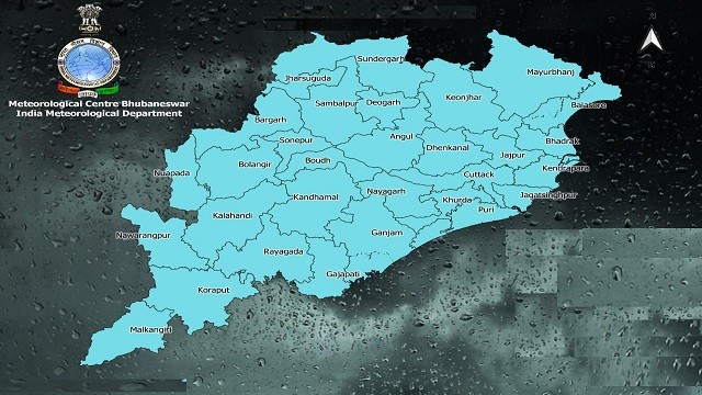
Heavy rainfall is very likely to occur at one or two places over the districts of Koraput, Malkangiri, Keonjhar and Mayurbhani, said the weather department adding that thunderstorms with lightning very likely to occur at one or two places over the districts of Koraput, Malkangiri, Rayagada, Gajapati, Ganjam, Kandhamal, Nayagarh, Khurda, Keonjhar, Mayurbhanj and Balasore tomorrow.
The Meteorological Department also issued a heavy rainfall alert for Koraput, Malkangiri, Jagatsinghpur, Puri, Kendrapara the day after tomorrow (September 6). Similarly, thunderstorm with lightning very likely to occur at one or two places over the districts of Balasore, Bhadrak, Jajpur, Kendrapara, Cuttack, Jagatsinghpur, Puri, Khurda, Nayagarh, Ganjam, Gajapati, Keonjhar, Mayurbhanj, Angul, Dhenkanal and Kandhamal.

 Ms Kalinga