
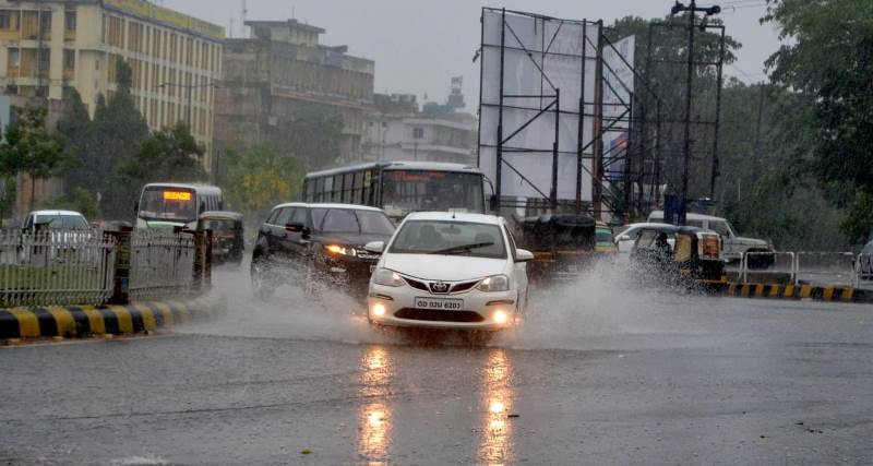
Bhubaneswar: A low pressure is likely to develop over northwest Bay of Bengal in next 24 hours. This will be the second low pressure system to form this week after low pressure induced rain severely affected 48 blocks of six districts in Odisha.
An official bulletin from the Regional office of India Meteorological Department in Bhubaneswar stated on Saturday that low pressure would develop over Northwest Bay of Bengal of West Bengal-Odisha coast due to a cyclonic circulation extending up to 7.6 km above mean sea level.
Under its influence, the IMD has forecast rainfall and thundershower over most districts of Odisha during the next two days.
Isolated heavy to very heavy rainfall very likely to occur over Gajapati, Ganjam, Puri, Khordha, Nayagarh, Balasore, Cuttack, Raygada, Kalahandi, Kandhamal, Nabarangpur, Balangir districts on 19th August, stated the bulletin.
Similarly, isolated heavy to very heavy rainfall predicted over Balasore, Bhadrak, Keonjhar, Mayurbhanj, Dhenkanal, Angul, Deogarh, Sundergarh, Sambalpur, Jajpur, Jagatsinghpur, Kendrapara, Cuttack, Kalahandi and Nuapada districts on 20th August.
Fishermen have been asked not to venture into the sea.

 Ms Kalinga