
Bhubaneswar: The India Meteorological Department (IMD) has issued heavy rainfall warning for Odisha as a low pressure areas forms over the Bay of Bengal.
“A Low Pressure Area has formed today morning and now lies over East-central & adjoining Northeast Bay of Bengal (BoB) with associated cyclonic circulation extending up to 7.6 km above mean sea level tilting southwards with height,” said the IMD in a press release.
“It is very likely to move northwestwards and concentrate into a depression over northwest Bay of Bengal off north Odisha-west Bengal coasts during next 48 hours. Then it is very likely to move west-northwestwards across north Odisha and north Chhattisgarh during subsequent 2-3 days,” the press release added.
“Under its influence, widespread light to moderate rainfall activity with isolated heavy to very heavy rainfall and extremely heavy falls at one or two places likely during 12 -13 Sept 2021 over Odisha,” the IMD said.
It may help ongoing agriculture activity, however, it may cause temporarily waterlogging in low lying areas and traffic disruption in urban areas in the districts of heavy rainfall activity, the IMD has cautioned in the press release.
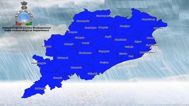
Forecast and warning for the next five days:
Day-1: Valid up to 0830 Hrs IST of 12.09.21
- Yellow Warning: Heavy rainfall is very likely to occur at isolated places over the districts of Ganjam, Puri, Jagatsinghpur, Kendrapada, Koraput, Malkangiri, Bargarh, Jharsuguda, Sundargarh, Cuttack and Khurda.
Day-2: Valid from 0830 Hrs IST of 12.09.21 to 0830 Hrs IST of 13.09.21
- Orange warning: Heavy to very heavy rainfall is very likely to occur at isolated places over the districts of Puri, Khurda, Cuttack, Jagatsinghpur, Kendrapada, Dhenkanal, Jajpur and Bhadrak.
- Yellow Warning: Heavy rainfall is very likely to occur at isolated places over the districts of Ganjam, Balasore, Nayagarh, Angul, Boudh, Sambalpur, Sonepur, Bolangir and Mayurbhanj.
Day-3: Valid from 0830 Hrs IST of 13.09.21 to 0830 Hrs IST of 14.09.21.
- Orange Warning: Heavy to very heavy rainfall at a few places with isolated extremely heavy falls is very likely to occur over the districts of Angul, Deogarh, Keonjhar, Jharsuguda, Sambalpur, Sundargarh, Bargarh, Bolangir and Sonepur.
- Yellow Warning: Heavy rainfall is very likely to occur at isolated places over the districts of Kalahandi, Kandhamal, Boudh, Nuapada, Cuttack, Jajpur, Dhenkanal, Mayurbhanj, Bhadrak, Balasore and Kendrapada.
Day-4: Valid from 0830 Hrs IST of 14.09.21 to 0830 Hrs IST of 15.09.21
- Yellow Warning: Heavy rainfall is very likely to occur at isolated places over the districts of Bargarh, Jharsuguda, Sundergarh, Sambalpur and Keonjhar.
Day-5: Valid from 0830 Hrs IST of 15.09.21 to 0830 Hrs IST of 16.09.21
Light to moderate rain or thundershower is very likely to occur at many places over the districts of Odisha.
The IMD has said that under the influence of the aforementioned system, surface wind speed reaching 45-55kmph gusting to 65 kmph is very likely over North & West-central Bay of Bengal and along and off Odisha coast during 12th -14th Sep 2021. Sea condition will be rough to very rough.
Fishermen Warning: Under its influence of the above system, surface wind speed reaching 45-55 kmph gusting to 65 kmph very likely over north & west-central Bay of Bengal and along and off Odisha coast during 12th-14th September, 2021.
Sea conditions will be rough to very rough and fishermen are advised not to venture into sea along and off Odisha coast, north and west central Bay of Bengal during 12th to 14th September, 2021. Whoever in deep sea area advised to return to the coast by today night.

 Ms Kalinga