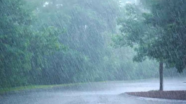
Low pressure forming over Bay of Bengal, rainfall expected
The low-pressure area is most likely to form around Friday. Even though it is supposed to be weak, rainfall is expected.
Bhubaneswar: There are chances of a low-pressure area being created over North-Eastern Bay of Bengal sometime during next week. The low-pressure area is most likely to form around Friday, or possibly later. Even though it is supposed to be weak, there will still be rainfall as a result of it.
Sri Lanka and Southern parts of India are expected to experience rainfall starting next week. On the other hand, as a result of a western storm, Western India might see snow and rainfall.
As per reports, the temperatures have continued to rise throughout the state. The state has warmed up considerably. The temperatures in various parts of the state have been three to four degrees over the normal. The highest temperature has been recorded in Sundergarh district of Odisha at 34 degrees. The temperature in capital city Bhubaneswar is around 32 degrees.
Meteorological Department in Bhubaneswar has informed that there is no major change expected in the minimum nighttime temperature in the state for the next 4-5 days. Weather scientists are expecting that the temperatures this year might be higher than before.


 Ms Kalinga