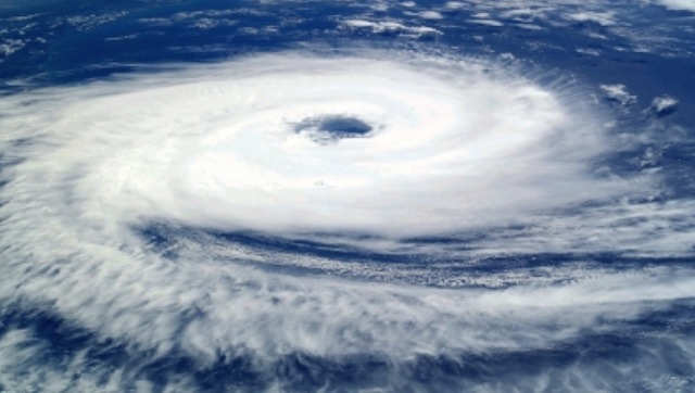
Cyclone Mocha to move towards Bangladesh-Myanmar coast, landfall on May 14
The India Meteorological Department (IMD) has forecasted that the probable cyclonic storm is likely to move towards Bangladesh-Myanmar coast.
Bhubaneswar: The India Meteorological Department (IMD) has forecasted that the probable cyclonic storm is likely to move towards Bangladesh-Myanmar coast. The two models of Windy has showed that the cyclone Mocha will likely make a landfall on May 14.
The European ECMWF model shows that the cyclone could make landfall in Bangladesh. However, the US GFS model shows the probable cyclonic storm could hit the coast of Myanmar.
On May 9, the low-pressure area over Southeast Bay of Bengal and adjoining South Andaman Sea has become well marked low-pressure Area over the same region at 0530 IST today. It is very likely to intensify into a depression by today evening over the same region and subsequently into a cyclonic storm over southeast Bay of Bengal and adjoining areas of East Central Bay of Bengal and Andaman Sea on 10th May. It is likely to move initially north-northwestwards till 12th May morning. It is likely to move initially north-northwestwards till 12th May morning. Thereafter, it is likely to recurve gradually and move north-northeastwards towards Bangladesh-Myanmar coasts.
As per IMD Director General Mrutyunjay Mohapatra, a low-pressure area has formed under the influence of cyclonic circulation over the southeast Bay of Bengal. It is expected to become a depression while moving in north-northwest wards. This will turn into a cyclonic storm by May 10.
“It will continue to move north-northwest wards and central parts of east-central Bay of Bengal. Thereafter, the system is likely to intensify further and become a very severe cyclonic storm. It is likely to change its path from May 12 onwards and move towards Bangladesh-Myanmar coasts,” said Mohapatra.
He also said that no warning has been issued for several eastern states like Odisha, West Bengal and Andhra Pradesh as of now.


 Ms Kalinga