
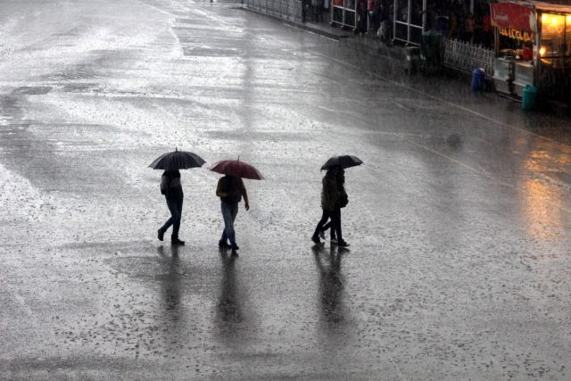
Bhubaneswar: The Regional MeT center situated here in Bhubaneswar has predicted still more heavy to very heavy rain in Odisha.
According to the latest weather bulletin, “Heavy to very heavy rainfall (7 to 20 cm) at a few places with isolated extremely heavy falls (>20cm) very likely to occur over 11 districts.
The rainfall has been predicted for the following districts of Odisha namely:
Nuapada, Bolangir, Kalahandi, Sonepur, Bargarh, Angul, Sambalpur, Jharsuguda, Deogarh, Keonjhar and Sundargarh.
It is noteworthy that, the depression over northwest Bay of Bengal and adjoining coastal areas of West Bengal and North Odisha moved west-northwestwards with a speed of 10 kmph during last 3 hours, crossed West Bengal and adjoining north Odisha coasts close to Digha.
It lays centered at 1130 hours IST of today, the 14th August over coastal West Bengal and adjoining North Odisha near latitude 21.90N and longitude 87.50E about 20 km west of Digha (West Bengal) and 70 km east-northeast of Balasore (Odisha).
It is very likely to continue to move west-northwestwards and maintain the intensity of depression during next 24 hours.
The Special Relief Commissioner (SRC) has directed people to follow these points and be alert:
i) Flash flood/Water logging in low lying areas, inundation of agriculture field, Mudslides / landslides in vulnerable hilly areas.
ii) Possibility of some damage to informal/Kutcha road, wall collapsed of vulnerable kutcha houses.
iii) Water logging in underpass road and occasional reduction of visibility causing traffic congestion in urban areas.
iv) It may lead to significant rise in water level of rivers.
v) Keep arrangement for drainage of excess water.
vi) Avoid movement in affected areas, stay in safe place.
vii) Postponed fertilizer/chemicals application in agricultural field.
viii) Keep livestock in safe place.

 Kalinga AI