
Bhubaneswar: The ECMWF (European Centre for Medium-Range Weather Forecasts) model of Windy has predicted that there is a change in the movement of the possible cyclone threat to Odisha.
As per the model, the possible cyclone is likely to hit the coasts of West Bengal’s Ganga river instead of Odisha.
On the other hand, the US Global Forecast System (GFS) model has predicted that the possible cyclone is expected to hit the Andhra Pradesh coast and will make a landfall near Srikakulam.
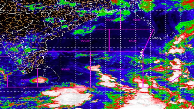
Meanwhile, Meteorological Centre, Bhubaneswar informed that a cyclonic circulation is likely to form over South Andaman Sea and the neighborhood around May 4. Under its influence, a Low-Pressure Area is likely to form over the same region around May 6. It is likely to become more marked during the subsequent 24 hours.
A cyclonic circulation is likely to form over South Andaman Sea and neighbourhood around 04th May. Under its influence, a Low Pressure Area is likely to form over the same region around 06th May. It is likely become more marked during subsequent 24 hours. pic.twitter.com/M1BLI30Z1w
— Meteorological Centre, Bhubaneswar (@mcbbsr) May 2, 2022
It is pertinent to mention that a yellow warning has been issued for an isolated thunderstorm with lightning to Dhenkanal, Angul, Boudh, Nayagarh, Ganjam, Kandhamal, Kalahandi, Rayagada, Gajapati, Nabarangpur, and Koraput from 8.30 of May 2 till 8.30 of May 3.
Similarly, Keonjhar, Mayurbhanj, Balasore, and Bhadrak have been warned of isolated thunderstorms with lightning along with gusty surface wind speed reaching 30-40 kmph.

 Ms Kalinga