
Bhubaneswar: The cyclone NIVAR which is brewing in the Bay of Bengal is most likely to intensify into a severe cyclonic storm in the next 12 hours.
It is moving northwestwards and cross Tamil Nadu and Puducherry coasts between Karaikal and Mamallapuram around November 25 afternoon as a severe cyclonic storm with sustained wind speed of 100-110 kmph gusting to 120 kmph, according to the Indian Meteorological Department (IMD).
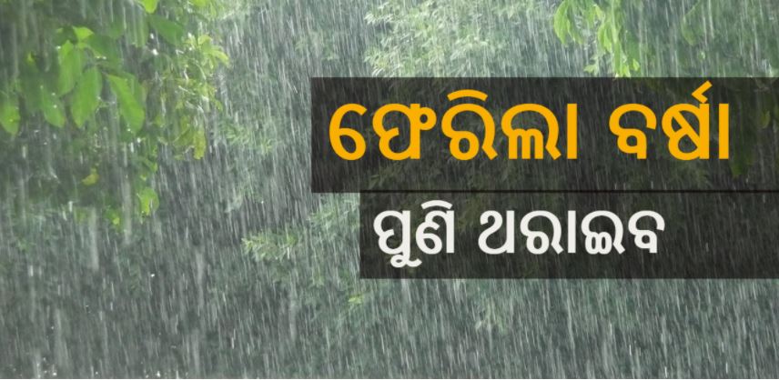
The rainfall activity with isolated heavy rainfall is likely to occur in some southern districts of the state on November 25 and 26.
Light to moderate rain or thundershower very likely to occur at a few places in Malkangiri, Rayagada, Gajapati, Koraput, Ganjam, Kandhamal, and at isolated places over rest districts of south Odisha on November 25.
Light to moderate rain or thundershower very likely to occur at many places in Malkangiri, Rayagada, Gajapati, Koraput, Ganjam, Nawarangpur and at a few places over rest districts of south Odisha on November 26.
Following which, the IMD have issued yellow warning in Malkangiri, Koraput, Rayagada, Nabrangpur, Ganjam, and Gajapati.
In view of the cyclone, The East Coast Railway (EcOR) has partially cancelled several trains as follows:
On November 24, 02898 Bhubaneswar-Pondicherry Special from Bhubaneswar will run up to Chennai Egmore. The train remain cancels from Chennai Egmore to Pondicherry.
On November 25, 02897 Pondicherry-Bhubaneswar Special train from Pondicherry will originate from Chennai Egmore to Bhubaneswar. The train will remain cancelled between Pondicherry and Chennai Egmore.
On November 25, 02868 Pondicherry-Howrah Special train from Pondicherry will orginate from Villupuram instead of Pondicherry to Howrah. The train will remain cancelled from Pondicherry to Villupuram.

 Ms Kalinga