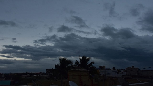
Bhubaneswar: The India Meteorological Department (IMD) today informed that a low pressure area has been reportedly formed over the southeast Bay of Bengal and it is likely to become more marked during next 48 hours after moving east-northeastwards.
In its latest press release, the IMD said, “A low pressure area lies over southeast Bay of Bengal & adjoining Equatorial Indian Ocean with associated cyclonic circulation extending upto 5.8 km above mean sea level. It is likely to move east-northeastwards and become more marked during next 48 hours.”
Isolated heavy rainfall is likely to occur over Nicobar Islands on December 19 under the low pressure area, predicted the weatherman adding that squally weather to be witnessed over southeast Bay of Bengal on December 18. Besides, southeast Bay of Bengal adjoining south Andaman Sea is also likely to have similar weather condition between December 19 and December 20.
“Dense fog in the morning hours in isolated pockets very likely over Himachal Pradesh and Uttarakhand during next 3 days and over Punjab, Assam & Meghalaya and Nagaland, Manipur, Mizoram & Tripura during 19th & 20th and over Haryana on 19th December, 2021,” the IMD said.
“Ground frost conditions in the morning hours in isolated pockets very likely over Punjab, Haryana & Chandigarh and north Rajasthan during next 3 days and north Madhya Pradesh during next 2 days,” the IMD press release added.
However, the minimum temperature likely to fall by 2-3 degree Celsius over most parts of northwest, central and east India and over Maharashtra till December 21.


 Ms Kalinga