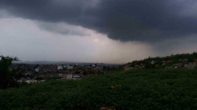
Bhubaneswar: A low-pressure area persisting over the north Andaman Sea and adjoining areas of the south Andaman Sea and Southeast Bay of Bengal is likely to gradually intensify into a depression over west-central and adjoining east-central Bay of Bengal by Monday
The southwest monsoon has further withdrawn from Odisha. Conditions are likely to become favourable for further withdrawal from some more parts of Maharashtra, remaining parts of Chhattisgarh, Odisha and North Bay of Bengal, and Central Bay of Bengal by Saturday, that is October 24.
The expected cyclone will likely reach the West Bengal-Bangladesh coasts on Tuesday, October 25, skirting the Odisha coast. The ECMWF predicts the system will make landfall over the West Bengal-Bangladesh coasts Wednesday afternoon as a cyclonic storm (63-88km/h). GFS expects that the system will cross the coast of eastern Bangladesh Tuesday early morning as a Severe Cyclonic Storm (89- 117km/h).
Heavy rain is expected to start from Monday over East India coasts and Northeast India due to wet onshore winds wrapping around the system.
Southwest Monsoon has further withdrawn from some more parts of Vidarbha; remaining parts of Chhattisgarh, Odisha & North Bay of Bengal; some parts of Telangana, Coastal Andhra Pradesh & Central Bay of Bengal today, the 21st October, 2022. pic.twitter.com/1y1b8RdJhx
— India Meteorological Department (@Indiametdept) October 21, 2022


 Ms Kalinga