
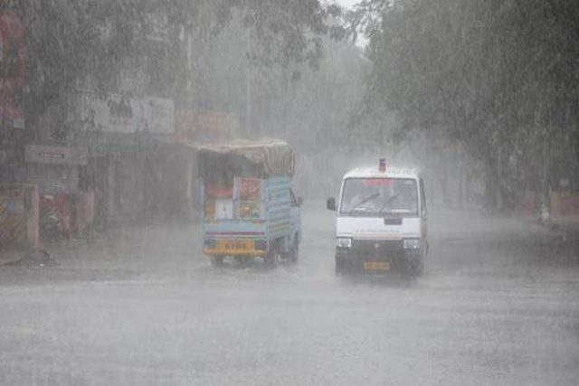
Bhubaneswar: The India Meteorological Department (IMD) predicted that a low-pressure area is likely to form over west-central and adjoining north-west Bay of Bengal off north Andhra Pradesh-south Odisha coasts around July 11.
Under the effect of low pressure over the Bay of Bengal, many districts of Odisha may witness heavy downpour and thunderstorm till July 13.
Weather forecast and warning for districts of Odisha for next four days:
From 8.30 am July 9 Till 8.30 am of July 10
Heavy rainfall is very likely to occur at one or two places in Nabarangpur, Koraput, Kalahandi.
Thunderstorm with lightning is very likely to occur at one or two places in Sonepur, Boudh, Nuapada, Balangir, Kalahandi, Kandhamal, Nabarangpur, Rayagada, Koraput, Malkangiri, Nayagarh, Khurda, Puri, Cuttack, Dhenkanal, Angul, Keonjhar, Mayurbhanj.
From 8.30 am July 10 Till 8.30 am of July 11
Heavy rainfall is very likely to occur at one or two places in Koraput, Malkangiri, Nabarangpur.
Thunderstorm with lightning is very likely to occur at one or two places in Puri, Khurda, Nayagarh, Ganjam, Gajapati, Malkangiri, Koraput, Nabarangpur, Kalahandi, Kandhamal, Keonjhar, Mayurbhanj, Sundargarh.
From 8.30 am July 11 Till 8.30 am of July 12
Heavy rainfall is very likely to occur at one or two places in Malkangiri, Koraput, Rayagada, Gajapati.
Thunderstorm with lightning very likely to occur at one or two places in Malkangiri, Koraput, Rayagada, Gajapati, Ganjam, Puri, Khurda, Nabarangpur, Kalahandi, Nuapada, Balangir.

 Ms Kalinga