
KalingaTV News Network
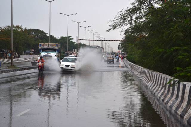
Bhubaneswar: A low pressure and cyclonic circulation over Bay of Bengal is likely to trigger heavy rainfall in most part of Odisha during next 72 hours, said the India Meteorological Department (IMD) bulletin on Saturday.
A low pressure area lies over northwest Bay of Bengal and neighbourhood with associated cyclonic circulation upto 9.5 km above mean sea level tilting southwestwards with height. The system is likely to become a well marked low pressure area during next 24 hours, said the latest bulletin
According to IMD, heavy to very heavy rainfall likely to occur today at one or two places over Cuttack, Jagatsinghpur, Kendrapara, Gajapati, Ganjam, Puri and Khordha districts and heavy rainfall to occur at one or two places over Dhenkanal, Jajpur, Bhadrak, Balasore, Keonjhar, Angul, Rayagada, Boudh, Nayagarh, and Kandhamal districts in Odisha.
The weathermen also predicted heavy to very heavy rainfall on Sunday at a few places over Angul, Deogarh, Keonjhar, Kandhamal, Dhenkanal, Sambalpur, Sonepur, Bargarh, Balangir, Nuapada, Boudh and Kalahandi districts. The extremely heavy rainfall is predicted at one or two places over Sambalpur, Sonepur, Bargarh, Balangir, Nuapada and Boudh districts in the State.
Similarly, heavy rainfall is very likely to occur at one or two places over Angul, Jharsuguda, Sambalpur, Sundergarh, Keonjhar, Mayurbhanj and Deogarh districts on Monday.
Fishermen are advised not to venture into sea during next 48 hours.

 Kalinga AI