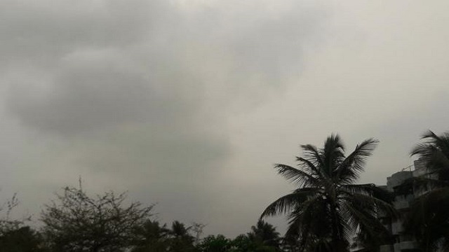
Depression formed over Bay of Bengal, rainfall expected in some districts of Odisha
The depression will not affect Odisha directly. Some districts of Southern Odisha are expected to get low to medium amount of rainfall.
Bhubaneswar: A depression is active over south-western and adjoining south-eastern Bay of Bengal. This depression is expected to stay active for the next three to four days. It is expected to move in the western north-west direction in the next 48 hours and head towards Tamil Nadu, Puducherry, and the coastal regions of Southern Andhra Pradesh. The aforementioned states are expected to get heavy rainfall as a result of this. It is expected that the rainfall will continue till Wednesday. IMD has predicted that the rain will shift towards Karnataka and Kerala by the middle of the week.
A low pressure is expected to form over North Andaman Sea by the end of the week. This prediction has come from American meteorologist Jason Nicholls. According to him, A low pressure has been formed in the southern China sea. This will not into a sea storm, however, it will cause heavy rainfall in Vietnam, Cambodia, and Laos in the next couple of days. It might reach Andaman sea by the end of the week.
The depression will not affect Odisha directly. Some districts of Southern Odisha are expected to get low to medium amount of rainfall. The districts that might get rainfall today include Ganjam, Gajapati, Rayagada, Malkangiri, and Koraput. Rain is expected in the districts of Gajapati, Rayagada, Malkangiri, Koraput, and Nabarangpur.
Interior parts of Odisha have experienced a drop in the temperature due to dry and cold winds. The temperature during the night is expected to be two to three degrees lower than normal. Last night, four cities recorded temperatures lower than ten degrees.


 Ms Kalinga