
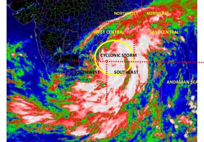
Bhubaneswar: The deep depression intensified into Cyclonic storm ‘Titli’ over west-central Bay of Bengal at 1130 hrs IST today and is now near latitude 14.8°N and longitude 86.7°E, about 530 km southeast of Odisha’s Gopalpur and 480 km east-southeast of Andhra Pradesh’s Kalingapatnam .
It is very likely to intensify further into a Severe Cyclonic Storm during next 24 hours. It is very likely to move west-northwestwards for some more time, then northwestwards and cross Odisha & adjoining north Andhra Pradesh coasts between Gopalpur and Kalingapatnam around morning of October 11.
Thereafter, it is very likely to re-curve northeastwards, move towards Gangetic West Bengal across coastal Odisha and weaken gradually.
Legends: Red-Take Action; Orange- Be prepared; Yellow- be updated; Green: No warning; Heavy rain: 64.5-115.5 mm/day; Very heavy rain: 115.6-204.4 mm/day; Extremely heavy rain: more than 204.4 mm/day
Wind warning
Squally wind speed reaching 40-50 kmph gusting to 60 kmph very likely over southeast & adjoining east-central Bay of Bengal during next 24 hours.
Squally wind speed reaching 65-75 kmph gusting to 85 kmph very likely over deep sea areas of west-central & adjoining north Bay of Bengal and gradually increase to 80-90 kmph gusting to 100 kmph from 10th evening to 11th forenoon.
Squally wind speed reaching 45-55 kmph gusting to 65 kmph is very likely to commence along & off along north Andhra Pradesh, Odisha and West Bengal coast from today, the 9th October night.
It is very likely to increase gradually becoming 100-110 kmph gusting to 125 kmph from 10th October 2018 evening onwards along & off south Odisha & adjoining districts of north Andhra Pradesh coasts and 65-75 kmph gusting to 85 kmph along & off north Odisha, west Bengal and remaining districts of north Andhra Pradesh coasts.
Sea condition
The sea condition is very likely to be rough to very rough over southeast & adjoining east-central Bay of Bengal during next 24 hours; and very rough to high over west-central & adjoining north Bay of Bengal on today, the 9th October and high during 10th and 11th October 2018.
Storm Surge Warning
Storm surge of height of about 0.5 m above astronomical tide is very likely inundate low lying areas of Srikakulam district of Andhra Pradesh; Ganjam, Khurda & Puri districts of Odisha at the time of landfall.
Damage Expected over districts of Visakhapatnam, Vizianagaram and Srikakulam of Andhra Pradesh, Gajapati, Ganjam, Khurda, Nayagarh and Puri districts of Odisha:
Damage to thatched huts/houses; Minor damage to power and communication lines due to breaking of branches and uprooting of trees.
Major damage to Kutcha & minor damage to Pucca roads. Some damage to paddy crops, banana, papaya trees and orchards. Sea water inundation in low lying areas after erosion of Kutcha embankments.
Action Suggested
The fishermen are advised not to venture into deep sea areas of central Bay of Bengal during 9th to 10th October 2018 and north Bay of Bengal during 9th to 11th October 2018 and into north Andaman Sea during next 12 hours. Those, who are out in deep sea areas are advised return to the coast.
Total suspension of fishing operations.
Coastal hutment dwellers are advised to move to safer places. Other people in the affected areas to remain indoors.
Also Read: Cyclonic Storm ‘Titli’ To Cross Odisha Coast On October 11

 Ms Kalinga